


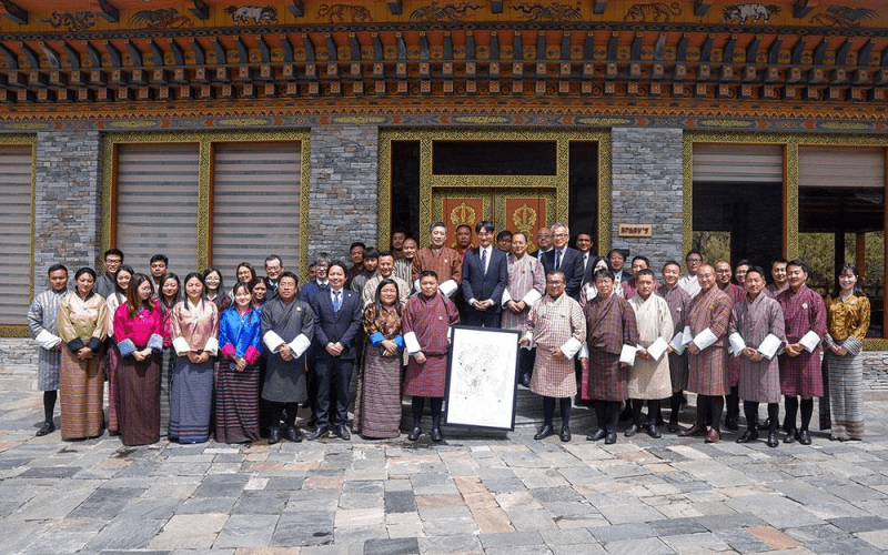
In a significant leap forward for its geospatial capabilities, Bhutan today received a suite of meticulously detailed digital topographic maps from the Japan International Cooperation Agency (JICA). The handover ceremony, held at the National Land Commission Secretariat (NLCS), marks the culmination of a multi-year collaboration aimed at bolstering the Himalayan kingdom’s planning, resource management, and disaster readiness.
The new mapping product employs cutting-edge satellite imagery and geospatial technologies to chart two-thirds of Bhutan’s territory at an unprecedented level of detail. Covering 17,294 square kilometres of northern and central terrain at a scale of 1:25,000—and an additional 500 square kilometres spanning nine fast-growing urban centres at 1:5,000—the digital maps replace older 1:50,000 scale charts, promising a dramatic enhancement in accuracy.
“Modern topographic maps are foundational tools for any nation embarking on sustainable development,” observed Samten Dhendup, Director of the Department of Survey and Mapping. “With this high-resolution data, infrastructure design, land-use planning, water-resource management, and disaster response strategies can be calibrated to real-world conditions with far greater precision.”
Among the myriad applications, the maps provide critical elevation models that allow engineers and planners to pinpoint flood-prone areas and assess glacial lake outburst flood risks—an increasingly urgent concern in Bhutan’s mountainous regions. “We can now site roads and bridges based on three-dimensional terrain analysis,” explained survey engineer Thinley Dorji. “Our design accuracy has improved by up to 80 percent, enhancing safety and longevity.”
Urban administrators, too, stand to benefit from the detailed urban-scale maps produced for Thimphu, Paro, Phuentshogling, Lhamoidzingkha, Sarpang, Bumthang, Mongar, Trashigang, and Gyalpozhing. “Rapid population growth in our towns demands up-to-date mapping,” noted Lobzang Tobgye, Chief Survey Engineer at NLCS. “Digital sharing of consistent geospatial data ensures all agencies—from transport to utilities—operate on the same page.”
JICA’s chief representative in Bhutan, Yoichiro Kimata, underscored the broader context of the project: “This handover affirms the strong partnership between Japan and Bhutan. By investing in digital innovation, we support your nation’s goals of resilience, governance, and informed decision-making.”
The initiative, launched in December 2022 under the National Spatial Data Infrastructure (NSDI) programme, has involved extensive field verification exercises and training workshops designed to empower Bhutanese surveyors and data managers. To date, NLCS teams have mapped 28,292 square kilometres of the country, with efforts ongoing to achieve full national coverage.
Mufti Wangchuk, a hydrologist at the Ministry of Agriculture and Forests, emphasized the maps’ value for resource planning. “Accurate land-use data lets us forecast irrigation needs, soil conservation measures, and watershed management with much higher confidence,” he said. “This will directly support rural livelihoods and ecological preservation.”
JICA’s financial commitment to the project reached approximately Nu 502 million, reflecting both hardware investments—such as GPS units and high-performance workstations—and extensive capacity-building programmes. The result is a robust, locally managed geospatial ecosystem that Bhutanese institutions can maintain and update independently.
As Bhutan accelerates its digital transformation, stakeholders across government, engineering firms, environmental agencies, and emergency services are preparing to integrate the new maps into their daily workflows. With a reliable, high-resolution cartographic foundation in place, the kingdom is better positioned to navigate the challenges of development, climate change, and natural hazards in the decades ahead.